
NASA researchers have produced a three-dimensional terrain map covering California at a scale fine enough to distinguish individual trees, according to an agency report published on 18 November.
The project combines airborne lidar measurements collected through the US Geological Survey’s 3D Elevation Program into a consistent statewide map with one-square-metre pixels. Lidar measures distances using pulses of laser light.
NASA’s Wildfire, Ecosystem Resilience, and Risk Assessment Initiative is working with the California Natural Resources Agency and California Air Resources Board. The team hopes the maps will support wildfire-risk assessment, ecosystem protection and natural-resource management.
This is a mapping resource and a research initiative, not confirmation that a specific fire has been predicted or prevented. Read the original NASA report and dataset link. Source checked 19 November 2026.
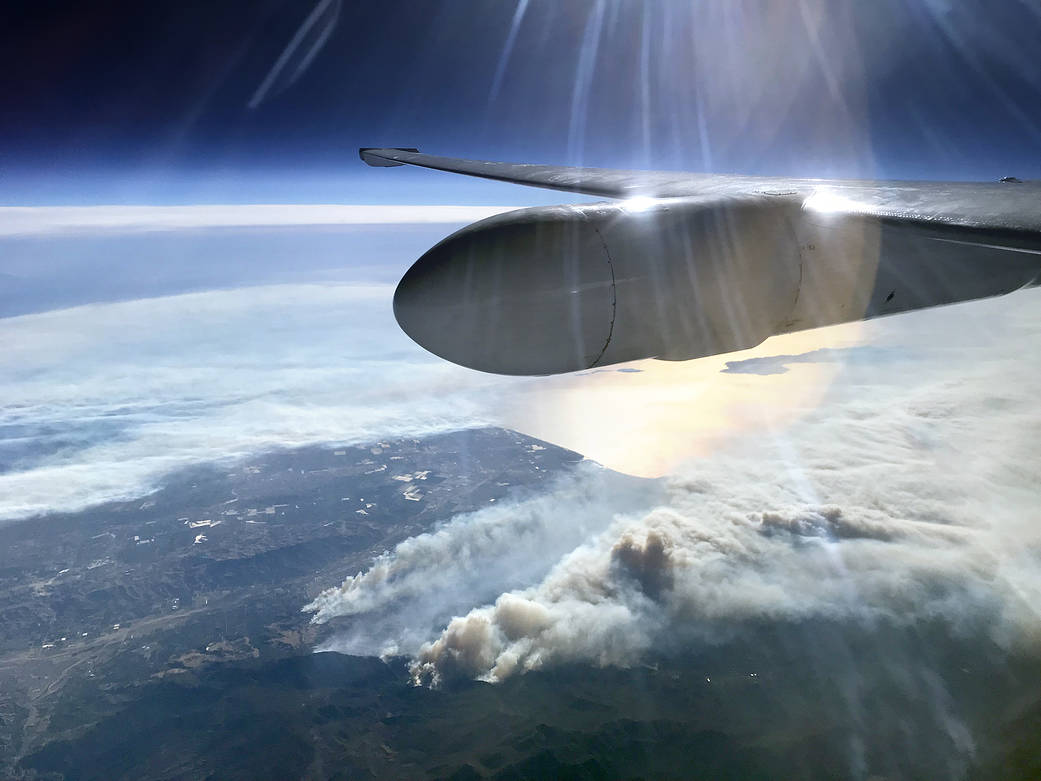
Photo: NASA/Stu Broce, under NASA editorial media reuse guidelines. Historical photograph of California’s Thomas Fire from the ER-2 aircraft, 5 December 2017; not a current fire or the new map. Automatic display resizing/cropping may apply; no endorsement implied.



Reader discussion